
설명
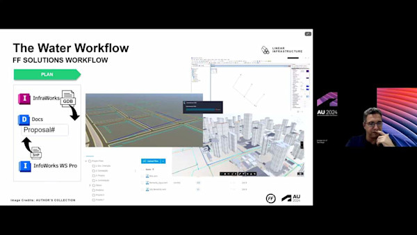
In this session, we’ll combine the power of InfraWorks software and InfoDrainage to locate and design basins for a proposed 5,000-lot subdivision in Colorado. You’ll learn how to import the architect’s lot layout and overlay on the existing Civil 3D surface in InfraWorks. We’ll cover how to export new locations into Civil 3D, and how to lay out basin, pipes, swales, channel, and so on in InfoDrainage. Once set up and fully tested, repeating the process with new architect layouts will be a breeze!
주요 학습
- Learn how to create shapes files in Civil 3D to export into InfraWorks.
- Learn about exporting IMX files from InfraWorks into Civil 3D.
- Learn about setting up the InfoDrainage part mapping manager to work with your Civil 3D storm library.
- Learn about using InfoDrainage object templates to speed up the process.
Downloads
태그
제품 | |
산업 분야 |
이 수업을 좋아하는 사람들은 다음도 좋아했습니다.

Instructional Demo
Integration of BIM and Hydraulic Modeling into a Single Workflow


Instructional Demo
InfraWorks and Civil 3D for House Builders and Developers

Industry Talk